Hurricane Lee charges through open Atlantic waters as it approaches northeast Caribbean
SAN JUAN, Puerto Rico (AP) — Hurricane Lee whirled through open waters on Thursday as forecasters warned it could become the first Category 5 storm of the Atlantic season.
Lee was not expected to make landfall while on a projected path that will take it near the northeast Caribbean, although forecasters said tropical storm conditions are possible on some islands. Meteorologists said it was too early to provide details on potential rainfall and wind gusts.
The Category 2 hurricane was located about 870 miles (1,405 kilometers) east of the northern Leeward Islands. It had winds of up to 105 miles per hour (165 kilometers per hour) and was moving west-northwest at 15 mph (24 kph).
Lee was forecast to develop into an “extremely dangerous” major hurricane late Thursday.
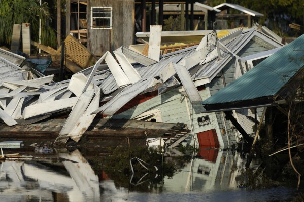 Missing windsurfer from Space Coast is second Florida death from Idalia
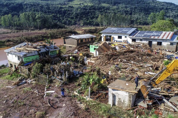 Brazil cyclone, Europe flooding, another Earth heat record: What to know in extreme weather now
 A Myanmar journalist gets a 20-year sentence for reporting on cyclone’s aftermath, news site says
“The environment around the cyclone looks ideal for rapid intensification,” the National Hurricane Center in Miami said.
Life-threatening surf was expected to hit the Lesser Antilles on Friday and reach the British and U.S. Virgin Islands, Puerto Rico, Hispaniola, the Bahamas and Bermuda this weekend, the center said.
Lee is the 12th named storm of the Atlantic hurricane season, which runs from June 1 to Nov. 30 and peaks in September.
The National Ocean and Atmospheric Administration in August forecasted between 14 to 21 named storms this season, with six to 11 of them expected to become hurricanes, and of those, two to five possibly developing into major hurricanes.
In the Pacific, Hurricane Jova churned through open waters far from Mexico’s southwest coast as a Category 4 storm. It posed no threat to land.
It was located about 550 miles (885 kilometers) southwest of the southern tip of Baja, California, and was moving west-northwest at 16 mph (26 kph) with winds up to 155 mph (250 kph). The storm is expected to weaken starting late Thursday.
Disclaimer: The copyright of this article belongs to the original author. Reposting this article is solely for the purpose of information dissemination and does not constitute any investment advice. If there is any infringement, please contact us immediately. We will make corrections or deletions as necessary. Thank you.


